Click on the first photo to see each photo on a separate page.
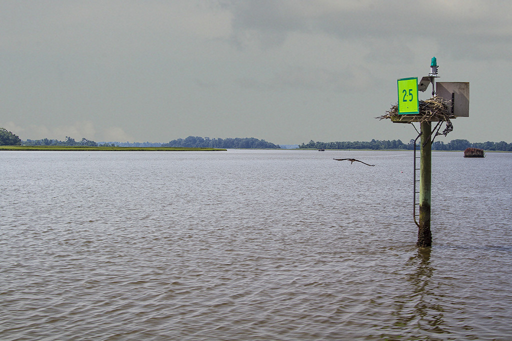
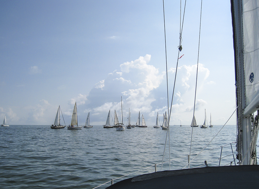
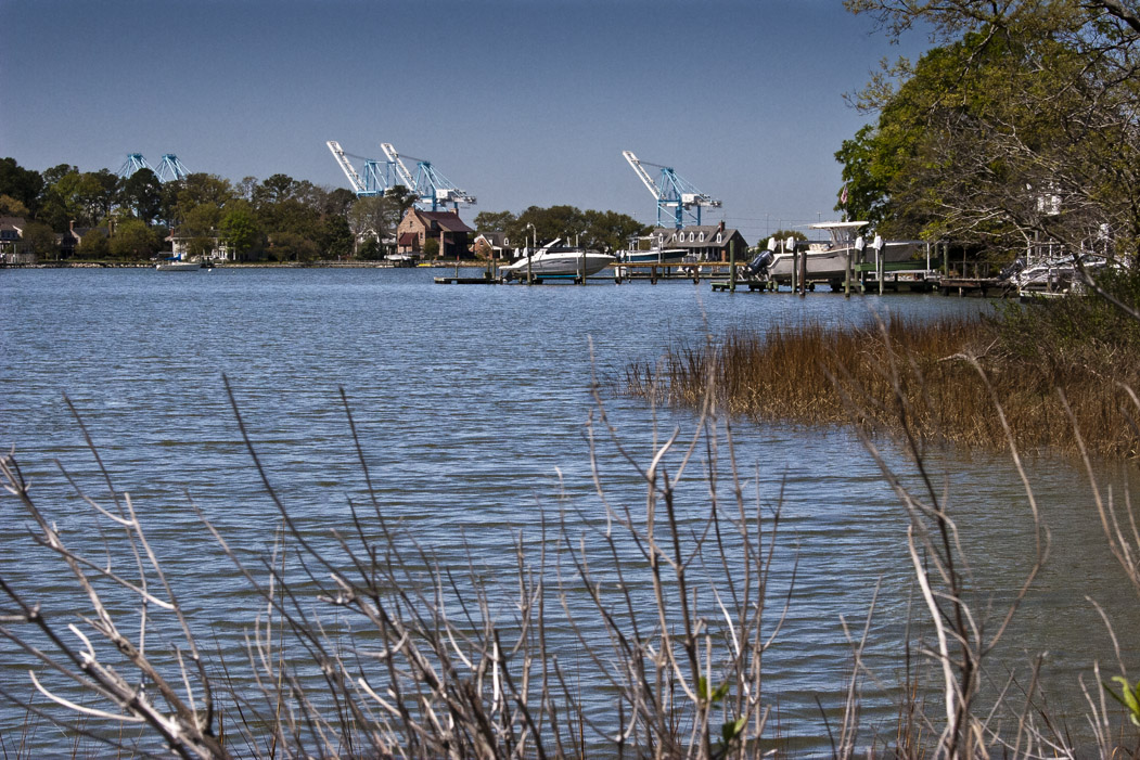
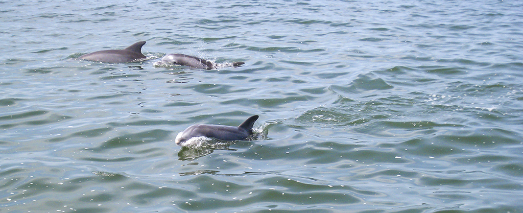
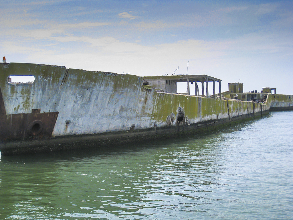
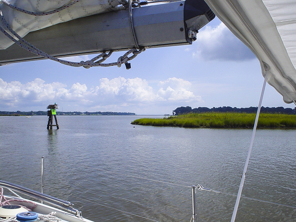
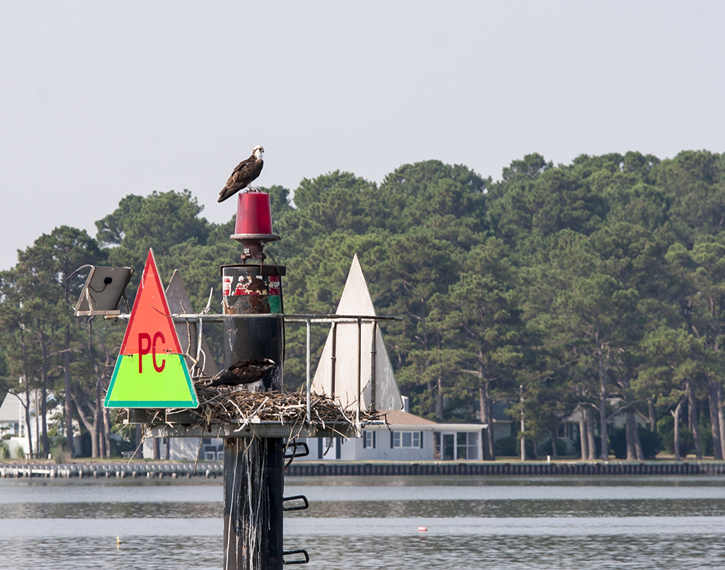
The Chesapeake Bay is the largest estuary in North America. It spans across six states and 64,000 square miles of territory, and 17 million people live in the watershed. Five major rivers and more than a hundred thousand creeks and streams drain into the Bay. It is home to the world’s biggest active navy base, and the second- and third-largest commercial ports on the East Coast. It also boasts a large commercial fishery and is a very popular recreational boating area.
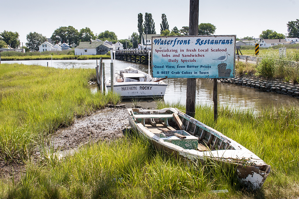
Some of these photographs were made in 2012 and 2013 to support a website created to support publication of my book, The Case for Grassroots Collaboration: Social Capital and Ecosystem Restoration at the Local Level (Lexington Books, 2013), coauthored with my friends and colleagues Bill Gibson, Bill Leavitt, and Shana Jones. These photographs feature scenes in the three watersheds that form the case studies for the book: the Elizabeth River, the Lynnhaven River, and the Nansemond River, all located in the Hampton Roads region of southeastern Virginia. The website for the book may be found here.